Southern Ontario will be seeing the heat and muggy air mass hang on for one more day before relief is provided by a cold front. However, before the cooldown occurs, there will be conducive conditions for thunderstorms to fire up in the region. Some of the storms could reach severe limits in the afternoon and evening.
SEE ALSO: Flooding potential could threaten safety in Quebec amid soaking rains
Tuesday
Areas: Southern, northeastern Ontario
Time: Afternoon and evening
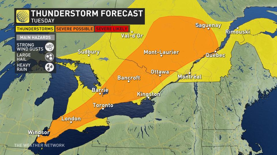
Weather: A line of thunderstorms is forecast to bubble up ahead of a cold front Tuesday afternoon. Storms will be scattered along the front, so not all regions will see a thunderstorm.
Those that do encounter storms face the standard threats, and a couple of the storms might become severe.
Tornado 101: What you need to know about staying safe
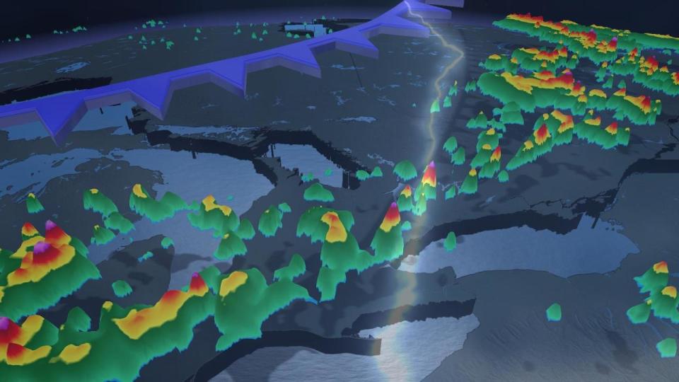
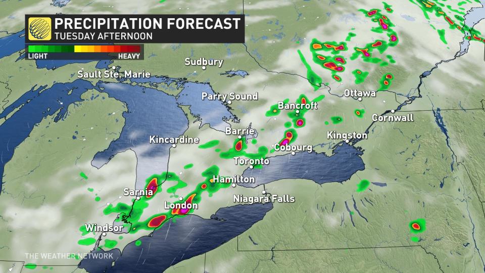
Here’s a snapshot of the projected storms Tuesday afternoon, potentially impacting London and several locations up and down the Highway 401 corridor.
The warmest temperatures will be in all of Eastern Canada including southern Ontario where, with the humidex, temperatures will feel like the mid-30s.
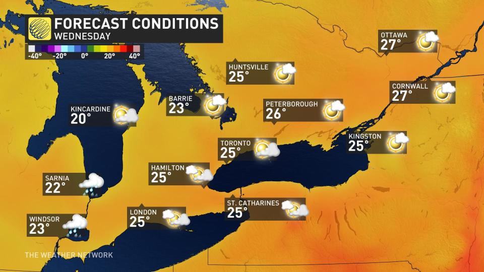
Once the cold front passes, Wednesday will be a return to seasonal temperatures for most regions in southern Ontario.
Stay tuned to The Weather Network across all platforms for more forecast updates for Ontario.
*****
Credit belongs to : ca.news.yahoo.com


