Plan ahead before going to bed Wednesday night if you live in southern Ontario.
Conditions are aligning for the development of nocturnal thunderstorms, which can be particularly dangerous as they occur through the late evening and overnight hours. Intense lightning and heavy rain may persist into the early morning hours, ahead of a more severe setup taking shape across parts of eastern Ontario and southern Quebec on Thursday, when a tornado risk gets added into the mix.
Be sure to have a plan and stay weather aware.
DON’T MISS: Why nocturnal thunderstorms can be particularly dangerous
Wednesday overnight
Areas: Southwestern Ontario and the Greater Toronto Area (GTA)
Timing: Wednesday late evening through the overnight
Weather: Southern Ontario is expected to be impacted by nocturnal thunderstorms Wednesday night, which often come with their own hidden dangers. Since they are difficult to spot in the dark, some might be taken by surprise with heavy downpours, gusty winds and hail late Wednesday night and into Thursday morning.
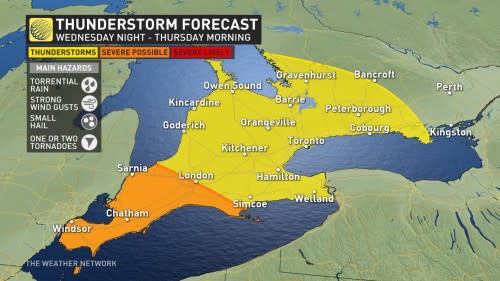
By the late evening, a highly convective system approaches Windsor-Essex county with a risk for severe thunderstorms. Thunderstorms that develop stateside this evening will be monitored for hail and wind impacts as they track northwards. There is the potential that some rotating storms could make it to the area near midnight, so there is a chance for a tornado.
RELATED: How hail – of all shapes and sizes – forms, falls from sky
Although the environment diminishes into the overnight hours, the system appears strong enough to sustain itself, pushing nocturnal thunderstorms into the GTA. Very early-morning commuters may be impacted by heavy downpours and frequent strikes of lightning. By Thursday morning, the system and severe risks head east, where things could turn more severe.
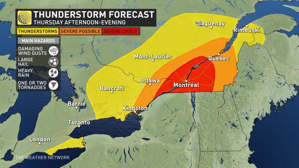
Thursday
Areas: Eastern Ontario and southern Quebec
Timing: Thursday afternoon and evening
Weather: Those across eastern Ontario and southern Quebec should be weather-aware through late Thursday afternoon and evening. The potential for a severe thunderstorm environment is emerging, with hints of a tornado risk that will depend on timing and several factors aligning.
Thursday starts with a warm, frontal, showery commute. Depending on how fast it clears out by the afternoon, a severe environment may follow.
Along the cold front trailing behind, severe thunderstorms are likely to set up. They will initially start as discrete storms, with supercell potential, then eventually lining out and raising the risk for damaging wind gusts into the evening.
There is the threat of all types of hazards with these storms on Thursday — from damaging wind gusts, large hail, heavy rain, and even the risk of tornadoes.
MUST SEE: If you’re camping, make sure you have a plan for severe weather
At this time, there is some confidence in Kingston, Ottawa and Montreal being impacted, though computer models continue to show discrepancies leading up to the event.
Prepare
Stay alert and monitor the forecast for updates. Have a plan and a place to head indoors if the weather changes.
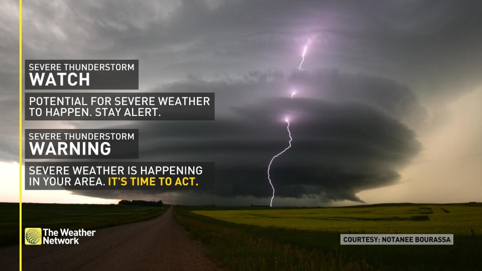
Watches mean conditions are favourable for the development of severe thunderstorms. Warnings mean they are imminent or are occurring in your area.
Be sure to check back for the latest weather updates across Ontario.
*****
Credit belongs to : ca.news.yahoo.com


