Parts of Alberta and Saskatchewan will see the potential for some severe weather to start the weekend.
A surface-level trough is invoking some instability across the region, bringing the threat of heavy rain, strong winds, and toonie-sized hail.
The storm setup will begin around the lunch hour and continue well into the evening.
RELATED: Water safety: Staying safe in lakes, rivers, and pools
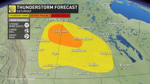
Saturday
Timing: Afternoon into the evening hours
Location: Northern and eastern Alberta, central Saskatchewan
Weather: Areas from Fort McMurray to Regina will see scattered thunderstorms as the storm system develops throughout the afternoon.
Most of these storms will be non-severe in nature, however areas north of Saskatoon, west of Prince Albert as far as Cold Lake could see severe storms develop.
The storms are looking to develop around noon in the north and move towards the south into the evening.
The main hazards of severe thunderstorms include strong winds, heavy rainfall and large hail, which will be the biggest risk for those in areas that will likely see severe storms develop.
Have a backup plan in place in case severe weather comes to your area. Head indoors and stay alert to changing weather conditions.
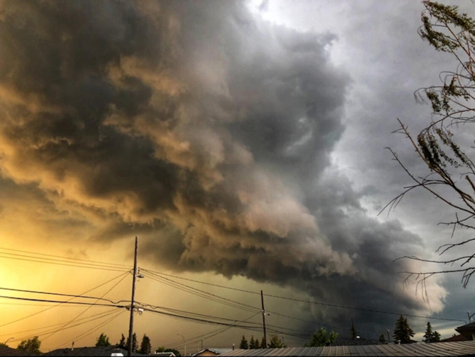
Thumbnail courtesy of Deborah Giorgi
Stay tuned to The Weather Network for more forecast updates for the Prairies.
*****
Credit belongs to : ca.news.yahoo.com