According to its dynastic history, there is a sea for each of the four geographic directions.
Celebrated Chinese general and philosopher Sun Tzu, author of the famed “Art of War,” could not have dreamt of a time when China would venture into global expansionism simply by drawing lines.
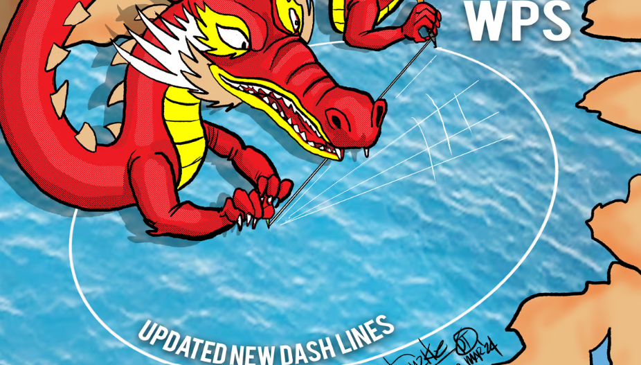
The conflict in the West Philippine Sea was the result of an ancient delineation called the nine-dash line which is a boundary based on the metaphorical Four Seas of ancient China.
According to its dynastic history, there is a sea for each of the four geographic directions.
The West Sea is Qinghai Lake, the East Sea is the East China Sea, the North Sea is Lake Baikal, and the South Sea is the South China Sea. The land “Within the Four Seas” is a literary description of China that appears in its literature and poetry.
Beyond literature, however, the delineation is based on how the Communist Party of China defines it.
After the Permanent Court of Arbitration invalidated the nine-dash line in a 2016 ruling, the Chinese politburo came up with the 10-dash line to thumb its nose at the UN-backed body.
Now, it is rewriting the demarcation in the northern part of the Gulf of Tonkin, an area shared with Vietnam. China audaciously changed its boundaries through an announcement contained in a statement from its foreign ministry.
The arbitrary claim is composed of seven base points that, when connected, form the baseline for Beijing’s sovereignty claims in the Gulf of Tonkin or what it calls Beibu Gulf.
In 2004, China and Vietnam reached a deal outlining the boundaries of their territorial sea, exclusive economic zone, and continental shelf in the gulf. Despite the agreement, maritime disputes persisted over some areas of the delineation.
Tongue in cheek, the foreign ministry claimed the seven-dash line would not negatively impact Vietnam’s interests “or those of any other nation,” which was the same assurance it gave concerning its expansive claim in the West Philippine Sea.
Instead, Beijing argued, “it would foster international maritime cooperation between China and relevant countries and contribute to the overall development of the global maritime industry.”
In the WPS, one of the reasons it put forward for aggressively asserting its outrageous territorial claim was that China serves the international community as the custodian of the key maritime region, which is crucial to global trade.
According to the United Nations Convention on the Law of the Sea or UNCLOS, coastal states are entitled to a territorial sea expanse of 12 nautical miles (22.22 km), a 200-nautical mile exclusive economic zone, and a continental shelf extending up to 350 nautical miles from their shores.
Experts examining the new demarcation said it may violate UNCLOS and has the potential to complicate maritime activities.
A regional expert said the unilateral demarcation is an attempt to limit Hanoi’s claim over its exclusive zone as it will provide 60 percent more of the waters to China, which is a gross violation of UNCLOS.
The geopolitical analyst said, “As China will not limit its misadventures in the South China Sea due to its ancient notion of controlling all the waters, the Gulf of Tonkin is one of the pins punched as per their self-centered verdicts.”
China’s extending its boundaries is being encouraged by the difficulty in enforcing the arbitral ruling.
If Vietnam follows the action of the Philippines and takes the route of international arbitration, China will merely ignore it, claiming that it does not recognize the arbitration process.
Beijing is close to being considered a rogue nation like North Korea with its cavalier way of dismissing international conventions and its recognition of only its unilateral rules.
*****
Credit belongs to: tribune.net.ph